Lightweight 3D viewer uVue
For BIM, Oil & Gas, Marine industries
3D visualization platform to view, share and markup huge model from BIM,Oil & Gas, Marine industries. With unique publishing technology, enables fast and smooth review in both desktop and browser.
Designed to be integrated with cloud storage such as box.com or private customer storage as On-Premises.


Various 3D Model Supported
Publishes major 3D model to lightweight UFX format that enables huge model review very smoothly on cloud. (UFX is 30% smaller than Navisworks ) Supported 3D Design Data.
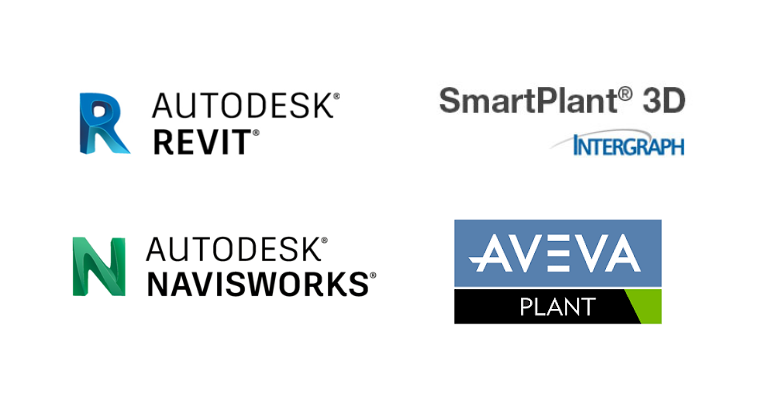
SP3D & PDMS
Revit/ Navisworks
Review 3D model in your browser
Navigate 3D model with just web browser. With uVue API, it can be integrated with your system no matter what it is.
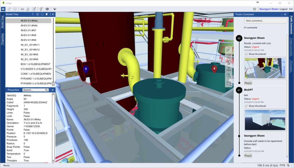
Issue Tracking & Collaboration
Create and share comment on the cloud in real-time, and synchronize viewpoint and moving path of other user for efficient collaboration.
Cloud Storage Integration
uVue is integrated to Cloud storage for 3D Content management, user authentication and notification. In case of box.com, you can immediately share 3D model and invite others for collaboration. Comments are stored in uVue collaboration server. The general configuration as follows:
- Cloud storage (e.g: Box.com or customer storage)
- User Authentication and invitation
- 3D Content management with versioning
- Usage and notification
- Collaboration server (uVue collaboration server)
- Session manager for realtime collaboration
- Comment and Annotation register

CAD-like dimension and measuring
UFX has Dimpoint (Dimension Point) inside of pipe, duct, steel, equipment component. Dimpoint enables automatic dimension just like CAD. With this feature, customer can save expensive CAD license for erection drawing or fabrication drawing.
And also user can get useful measurement data from review model that is not supported in any other 3D viewer.


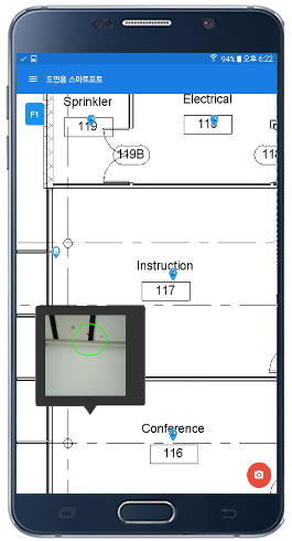
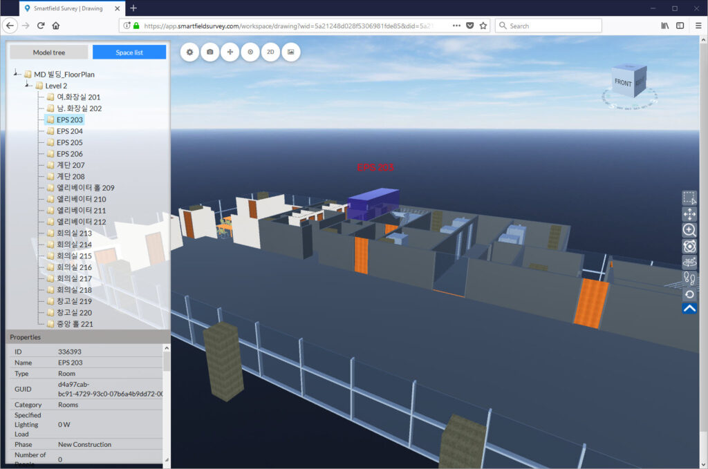
Location based SmartField Survey ® Integration
Android Field Survey App “Smart Field Survey®” allows to take location-based-photo at construction field for safety, inspection, progress check purpose. The app requires Floor plan to get the photo location, and the photo has metadata such as comment, caption,voice and smartphone sensor data too. The photos are saved on Cloud storage with metadata, uVue 3D viewer can load “location-based photo” in the model view. The photos taken from field are immediately reviewed in uVue 3D viewer in it’s exact location by team members without delay of information transfer.